Fortunacharts Maps
Maps for tuna fishing for using in the ZuniSea: temperature, plankton, salinity, altimetry, HotTunaPoints and oceanographic data.
Product Details
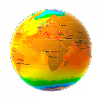
Temperature
- Temperature in °C.
- Importance of the gradients to determine possible fishing fronts.
Plancton
- Concentration of Chlorophyll (Phytoplankton) in mg/m3.
- Importance of the gradients to determine possible fishing fronts.
Salinity
- Measured in Practical Salinity Units (PSU).
- Related to the temperature in the generation of convective currents by density differences.
Altimetry
- Measured in meters.
- Importance when setting the buoys and to determine possible fishing fronts.
- It is the ellipsoidal height of a point of the sea surface averaged over a long period of time.
Hot Tuna Points maps
Higher fishing probability areas.
Oceanographic data (by buoy)
- Information in the water column at different depths: temperature, depth currents and shear.
- It helps to decide in advance whether to go to a fishing area or not, in case the currents are strong and the net is likely to break.
- You can configure the forecast 1, 2 or 3 days in advance.
